🐾 SOLID
4.6mi189ft ↑42m
Fast Miles, Warm October
Thursday, October 15, 20261:34 PM PT📍 Truckee, CA, United Statesclear sky · 66°FWalkView route on Strava ↗
Start: Thu, Oct 15, 2026, 1:34 PM PT
Location: Truckee, CA, United States
Weather: clear sky · 66°F
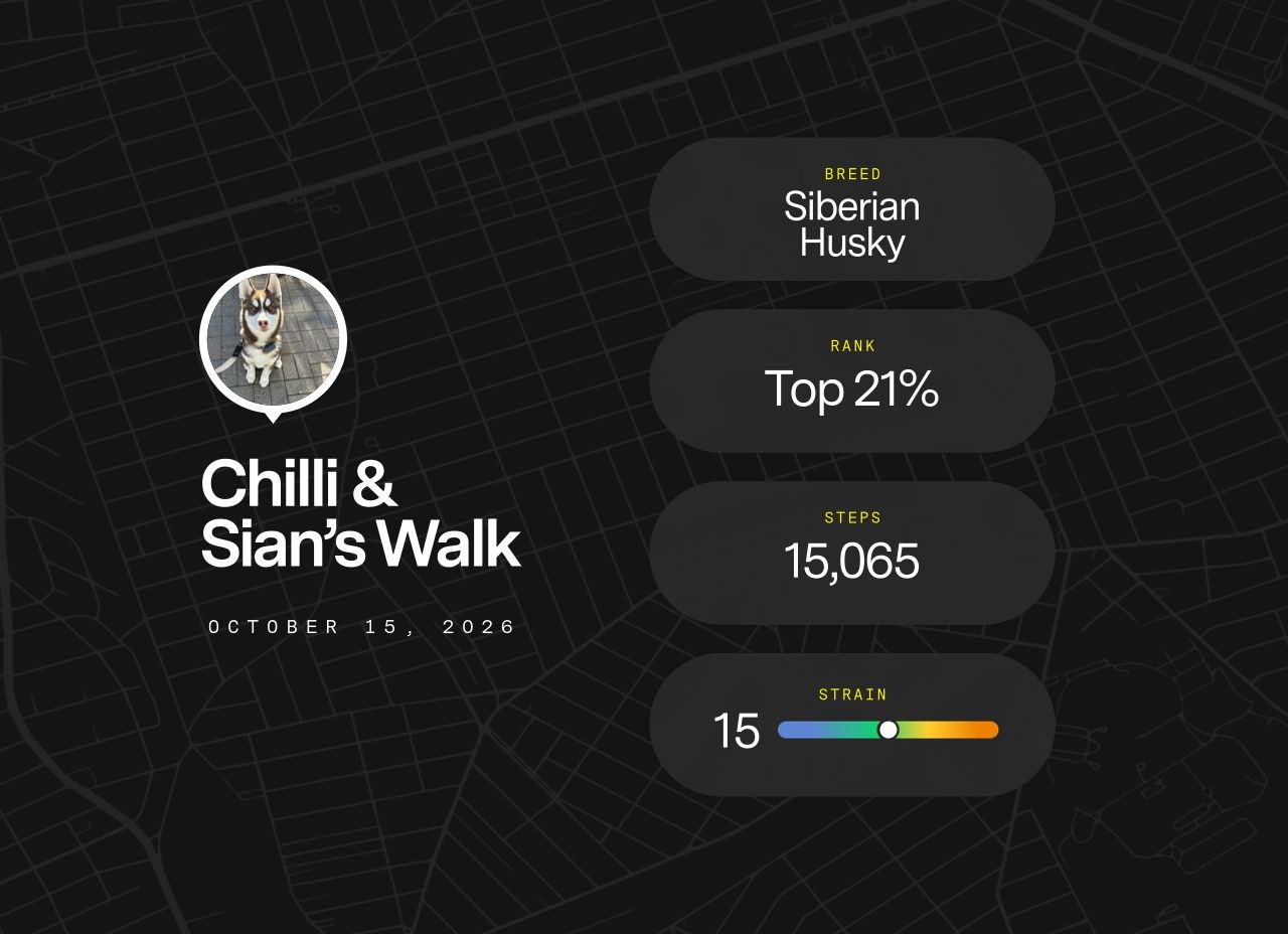
Distance: 4.6 mi
Moving time: 42m
Elapsed: 58m
Elevation gain: 189 ft
Thursday afternoon, and Mama had us moving at a proper clip — 4.6 miles in 42 minutes, which I will note is not nothing. The pace suited me. Sixty-six degrees, clear sky, a light wind carrying exactly the kind of layered October intelligence that makes a nose feel genuinely useful: dry pine duff, something that had been through the underbrush recently (deer, probably two days ago, moving east), and the first faint suggestion that the season is turning. The aspens are in the middle of their annual display, which I find aesthetically appropriate. Fall in Truckee has taste.
The elevation was modest — barely a hill, really — which meant we just moved. No grinding switchbacks, no pausing to contemplate the suffering. Just ground covered efficiently, which has its own satisfaction. The trail was well-read today: I gathered a considerable amount of local intelligence at a pace that still counted as forward motion. Mama kept up. I will not make a big thing of it.
The afternoon light was doing something excellent through the trees by the time we were done — that low-angled October gold that makes everything look like it was composed on purpose. I took a moment. Briefly. Then we headed back, because the data was processed and the work was complete. A efficient Thursday.
7/10 paws — clean miles, good air, fine pace; loses points for the absence of snow and the suspicious rustling at mile three that I am still thinking about.
#fall_trail#afternoon_run#truckee#good_pace#october_light